Free Florida Land Survey Cost Calculator Scope And Rates
Estimate Your Land Survey Cost
Enter your own pricing assumptions to get an estimated survey cost. Pre-filled numbers are example values only, not market rates.
Cost Breakdown
This tool provides a general estimate based on the values you enter. It is not a binding quote or professional survey advice. Contact a licensed surveyor for an actual price.
An average land survey costs $200 to $1,200, while a boundary survey for one acre typically ranges from $500 to $1,000. For larger properties of 50 to 100 acres, rates may range from $70 to $140 per acre. A Residential land survey cost calculator, Free land survey cost calculator, or Property line survey cost estimate can vary based on the survey type, plot dimensions, and the complexity of available past records.
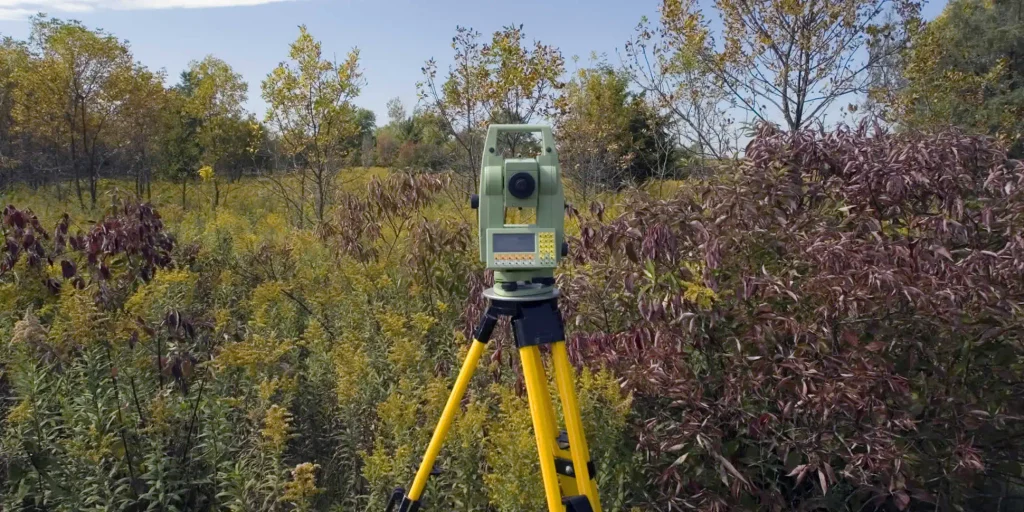
Works With These Land Survey Types
Property Line/Boundary Survey
A property line or boundary survey identifies the precise limits of a parcel, locates property corners, and documents structures or possible encroachments near the boundary. It is commonly used when installing fences, clarifying boundary locations, or resolving property disputes.
Mortgage Survey
A mortgage survey provides information lenders may request during a property purchase or mortgage process. It can show the property boundaries, the location of improvements, and apparent encroachments that may need further review.
Topographic Survey
A topographic survey maps changes in elevation and identifies important natural and man-made features across a property. This information is useful when planning construction, site improvements, drainage work, or major landscaping projects.
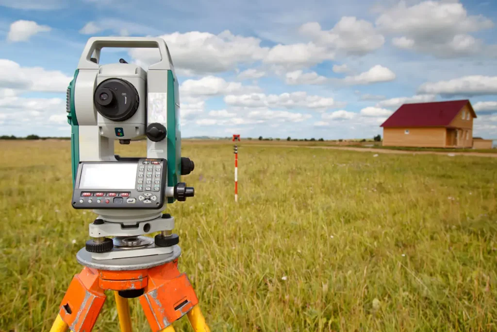
ALTA/NSPS (Title) Survey
An ALTA/NSPS survey is a detailed survey commonly associated with commercial real estate transactions. It can document boundaries, easements, encroachments, improvements, and other matters relevant to understanding a property's title and physical condition.
Improvement Location Certificate
An Improvement Location Certificate (ILC) is generally less detailed than a full boundary survey. It focuses on locating buildings and other improvements in relation to property lines and may be requested during lending or title-related processes.
Elevation Certificate
An elevation certificate records the elevation of a building and provides information used to evaluate its relationship to flood zones. It may be needed for flood insurance, development, or other requirements in areas where flood risk is a concern.
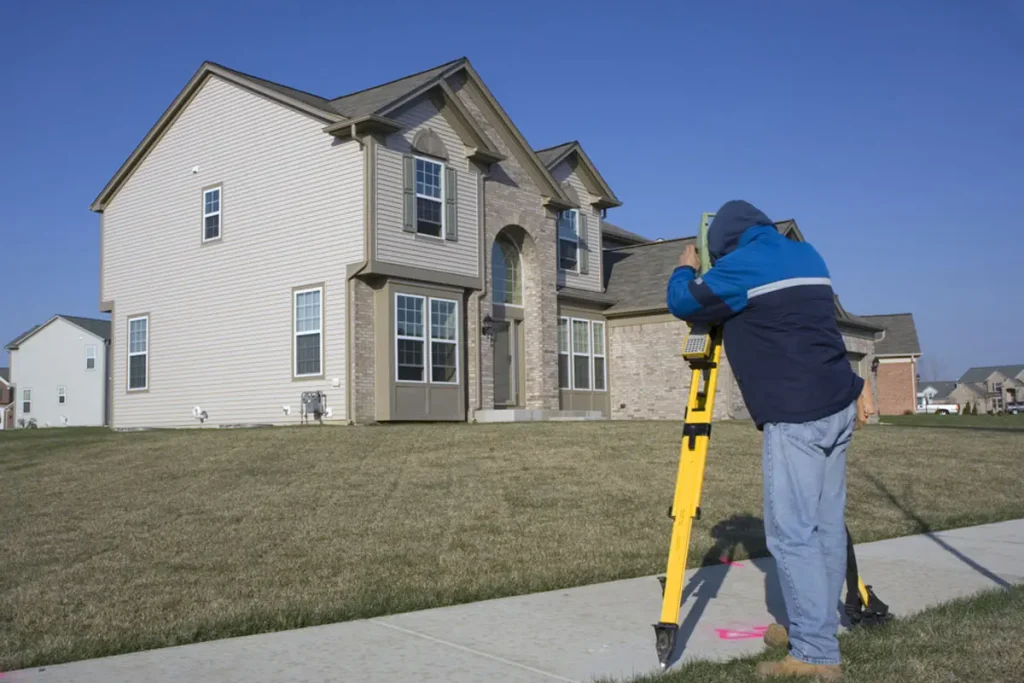
What does a surveyor cost?
A surveyor may charge based on the size, location, and complexity of the property, as well as the type of survey required. For a typical boundary survey, costs can range from $500 to $1,000 for one acre, while larger properties may have lower per-acre rates.
When Do You Need A Land Survey?
A land survey can be useful whenever you need clear, reliable information about property boundaries, improvements, easements, or site features. Common situations include:

- Land disputes – A survey can clarify property boundaries when neighbors disagree about fences or other boundary-related issues. Knowing the Cost of land survey for fence work can also help when planning a new fence or checking an existing one.
- Real estate transactions – A survey helps confirm property dimensions and other important details when buying or selling land, meeting mortgage requirements, or replacing an outdated survey. Understanding the Cost of getting a property survey can help when budgeting for the transaction.
- Remodeling – Before expanding or adding structures, a survey helps identify legal property limits so improvements do not extend onto neighboring land.
- Utility lines – Survey information can help identify private and public utility connections and clarify portions of the property affected by public rights of way, reducing the risk of damaging utility infrastructure.
- New engineering and architectural designs – Surveyors can provide topographic information and utility locations for engineers and architects, then help verify that completed work follows the dimensions shown in the plans.
- Land development – Surveys support the accurate subdivision of larger parcels while accounting for easements, titles, and utility locations.
- Insurance – A survey may provide elevation information needed for certain flood-insurance requirements.
- Mortgage refinancing – Updated survey information may sometimes be required when refinancing a property.
- General property knowledge – A survey can help establish property dimensions, support construction planning, and identify relevant site features. For homeowners comparing the Cost of land survey near me, local survey providers may offer different pricing based on the property's needs.
In some cases, a recent survey that is less than five years old may be eligible for recertification in a new owner's name. When available, this can be a less expensive way to confirm existing property information without ordering an entirely new survey.
Data Resources For This Calculator
We use information from several trusted resources to support the data used in our cost calculators. For this land survey estimator, the figures and supporting information are based on the following sources:
- Cost of living data: U.S. Department of Commerce, Bureau of Economic Analysis.
- LAN Associates: A civil engineering firm serving clients across the eastern United States, with information on different types of land surveys.
- Aggregated cost estimates: Estimated costs are calculated by averaging cumulative figures submitted by partners who have used this estimating tool and publicly shared their estimates. Personal identifying information has been removed, and only aggregated values are used.
FAQs
Conclusion
A land survey is an important step when you need dependable information about property boundaries, improvements, elevations, or site conditions. Costs vary by survey type, property size, and complexity, so reviewing the right survey option and estimated price can help you plan the work and avoid unexpected expenses.
Read More: